")
")
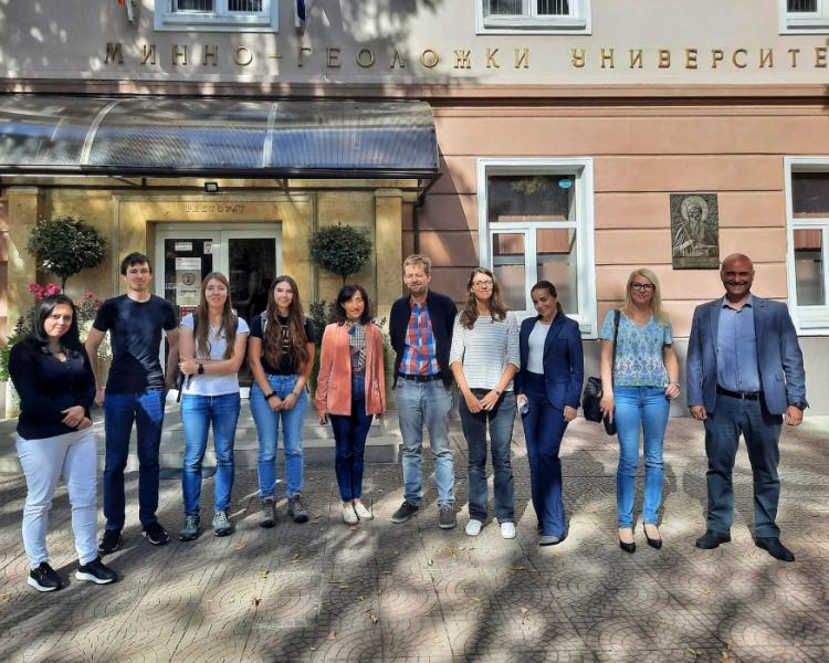
Project ID: DS-15
Project leader: Dr. Valentina Nikolova
Project coordinator in Serbia, employed at the Geographical Institute "Jovan Cvijić", SASA: Dr. Ana M. Petrovic
Project holders: University of Mining and Geology "St. Ivan Rilski" in Bulgaria, Geographical Institute "Jovan Cvijić" SASA, Geosciences Rennes of the University of Rennes, Global Change Research Institute of the Czech Academy of Sciences
Partner organization on the project in Serbia: Faculty of Geography, University of Belgrade
Project duration: from July 1, 2023 to June 30, 2025
Sponsors: Ministry of Science, Technological Development and Innovation of the Republic of Serbia, Program of international scientific cooperation of importance for the Republic of Serbia – Program for financing multilateral scientific and technological cooperation in the Danube region
The Geographical Institute "Jovan Cvijić" SASA is involved in the project "Geomorphological interpretation of photogrammetry and laser scanning data in the study of torrential basins", which lasts 48 months. The implementation of the project in Serbia is financed by the Ministry of Science, Technological Development and Innovation of the Republic of Serbia.
The multilateral project brings together 6 academic and research organizations from Serbia, Bulgaria, France and the Czech Republic. The project focuses on the analysis of sediment granulation and orientation using classic and modern methods employing UAS (Unmanned Aerial System) and Terrestrial Laser Scanning (TLS) technologies. The general goal of the project is to support the investigation of torrential phenomena using multisensory methods and the mapping of hydro-geomorphological risks of torrential floods and debris flows in the watersheds of hilly-mountainous areas.
Photos: