")
")
Project ID: I2021
Project cycle: 2021
Project leader: PhD Zlata Vuksanović Macura
Project authors: PhD Zlata Vuksanović Macura
Project duration: May 1, 2021, to December 30, 2021
Sponsors: Ministry of Culture and Information of the Republic of Serbia
Executive contractors: Geographical Institute "Jovan Cvijic" SASA
List of participants: PhD Zlata Vuksanović Macura, PhD Suzana Lović Obradović, PhD Dragana Miljanović, PhD Aleksandra Terzić, PhD Dejan Doljak, PhD Jovana Todorić, Dobrila Stajić, Dragoljub Štrbac, Petar Nešić, and Snežana Nešić
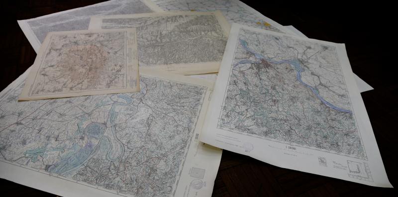
Geographical Institute "Jovan Cvijic" SASA with support of the Ministry of Culture and Information of the Republic of Serbia realizes the project of digitalization of geographical and historical maps of Serbia.
Maps are among the least digitized cultural heritage in Serbia. This project aims at digitizing geographical and historical maps as a heritage of outstanding universal value. The project covers recording, processing, and digitizing cartographic material consisting of topographic, historical, geological, geomorphological, climatological, hydrological, ethnic, geopolitical, maps of settlements and population, urban plans, and other thematic maps and atlases collected in the Geographical Institute "Jovan Cvijić", SASA. The Geographical Institute has over 10,000 sheets of maps, created from the middle of the 19th century until today, which show the area of Serbia, the Balkan Peninsula and Central and Southeast Europe, including those made by renowned geographer and academician Jovan Cvijić.
The aim is to digitize the valuable cartographic material stored at the Geographical Institute and make it available to interested users, national and international scholars from various disciplines, employees in cultural institutions and the broad public. Furthermore, creating open access to maps and plans will allow the use and download of digitized maps and contribute to preserving this significant cultural heritage of Serbia.
Photos: